
Boundary · Easement · ALTA/NSPS
Know Your Ground.
Stamped plat drawings for closings, foundations, and courtrooms. Delivered in days.

Field to Record
Every pin set by hand. Every corner documented. Every drawing stamped and recorded with the county clerk.
The Fence That Moved Fourteen Inches.
Her real estate attorney, reviewing the original deed description, found a metes-and-bounds call that hadn't been walked in decades. The language was sound; the iron pins had simply never been found. Without a recorded survey locating those corners, the dispute would drag through mediation with no physical evidence to anchor either party's claim.
We located two original iron pins within 48 hours of fieldwork — one beneath three inches of sod, one under a concrete footing. The boundary was retraced, the encroachment measured to the tenth of a foot, and a recorded plat was in the attorney's hands before the mediation date. The fence came down. The garden came back.
Resolution
Encroachment documented to 0.1 ft. Recorded plat filed with county clerk. Mediation resolved in one session.
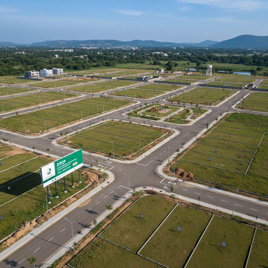
| Corner | Monument Found | Offset |
|---|---|---|
| NW | ½″ Iron Pin | +0.0 ft |
| NE | ½″ Iron Pin | +0.0 ft |
| SE | Set Rebar / Cap | +0.0 ft |
| SW | Set Rebar / Cap | +0.0 ft |
48 hrs
Field to Draft
340 ft²
Encroachment
1 session
Mediation
Six Parcels. Four Easements. One Closing Deadline.
The problem: a 1987 utility easement crossed two of the parcels in a corridor that had never been staked. Its centerline existed only as a legal description in a recorded document — a document that referenced a datum point the county had since abandoned. Reconstructing the easement meant pulling original field notes from the state archives, converting the old datum, and rerunning the geometry against current ground control.
The subdivision plat, easement exhibit, and area table were delivered four days before the lender's deadline. Construction started on schedule. The easement corridor is now staked, recorded, and visible on every future title search.
Resolution
Subdivision plat recorded. 1987 easement reconstructed and staked. Lender funds released on deadline.
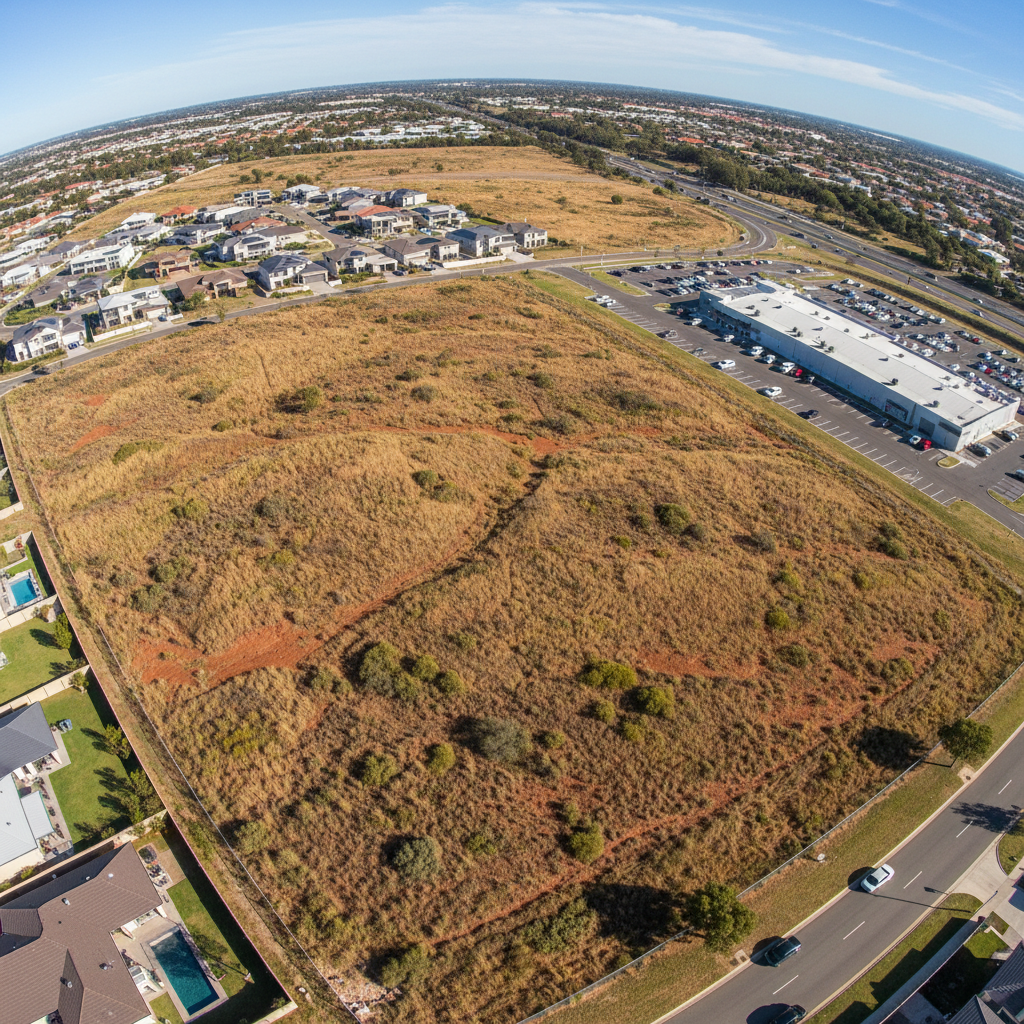
| Easement | Type | Width | Status |
|---|---|---|---|
| E-1 | Utility | 20 ft | Staked |
| E-2 | Drainage | 15 ft | Staked |
| E-3 | Access | 30 ft | Staked |
| E-4 | Utility (1987) | 20 ft | Reconstructed |
6
Parcels Unified
14 ac
Total Area
4 days
Early Delivery
Entered as Court Exhibit B.
Litigation-support surveying is different from every other kind. The standard of care is higher because the work will be cross-examined. Every measurement, every assumption, every source document must be traceable. We spent two days in the county deed room before setting foot on the property — pulling chain of title, locating the 1962 survey notes in the state archive, and identifying three adjacent surveys that had been run since the tree disappeared.
The reconstructed boundary held up under cross-examination. The judge's ruling cited the survey by name. The estate was partitioned according to the plat we drew. The work took eleven days from engagement to testimony.
Court Record
Survey entered as Exhibit B. Boundary reconstruction withstood cross-examination. Estate partitioned per plat. Judge's ruling cited survey by name.
Your situation is somewhere in these three stories. The resolution is the same — a stamped drawing that ends the uncertainty.
Book Your Survey →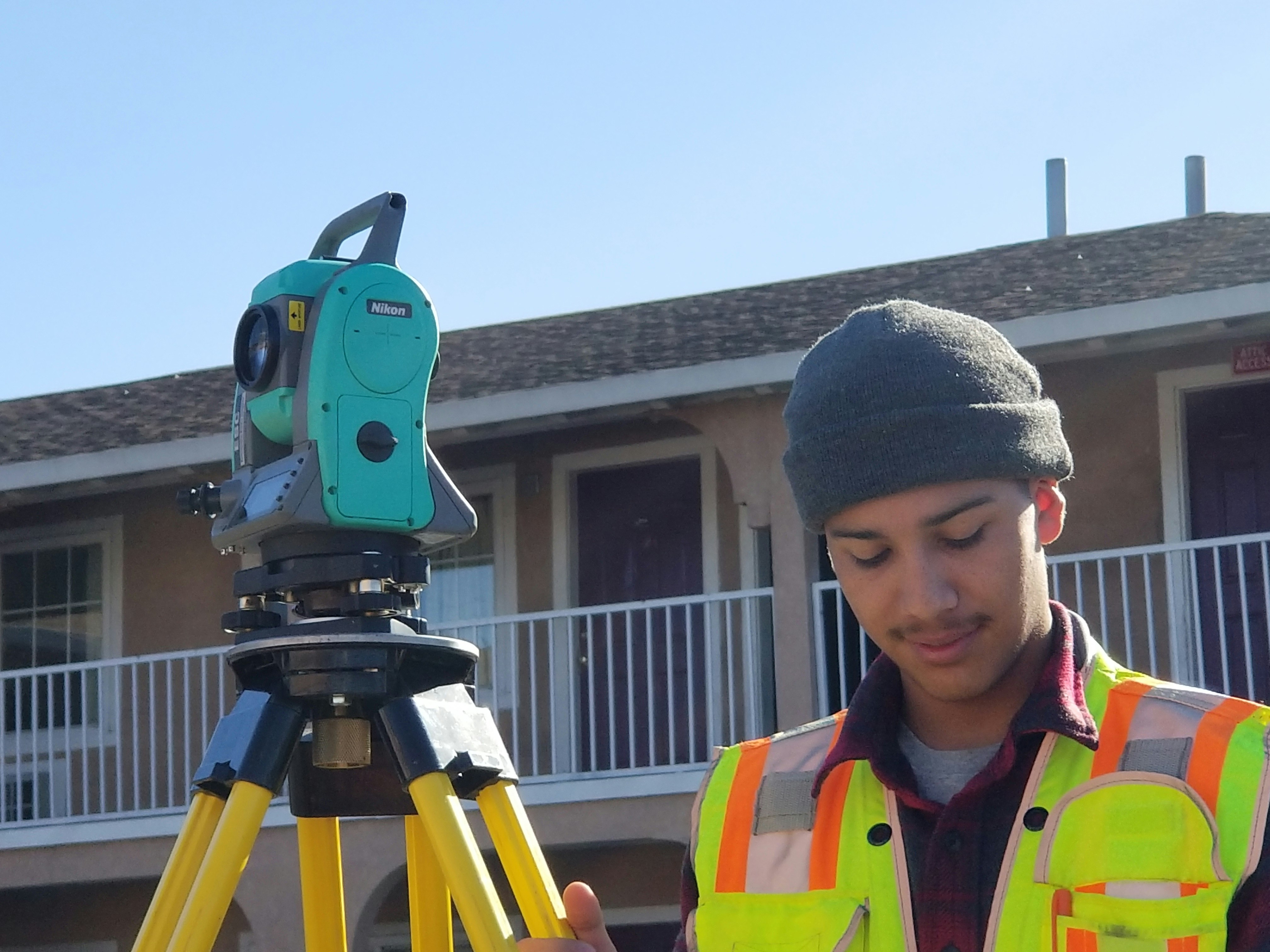
Surveyor's Certification
This survey was prepared in accordance with the Minimum Standard Detail Requirements for ALTA/NSPS Land Title Surveys and is certified to the standards of professional practice of the state licensing board.
| Source Document | Date | Status |
|---|---|---|
| Original Deed, Book 14 P.382 | 1962 | Verified |
| Field Notes, State Archive | 1962 | Recovered |
| Adjacent Survey, Plat Book 8 | 1991 | Corroborated |
| Control Points, NGCS Network | 2024 | Established |
11 days
Engagement to Testimony
62 yrs
Chain of Title Traced
Exhibit B
Court Record